Sunday 9th November 2025, 12.35pm (day 5,190)
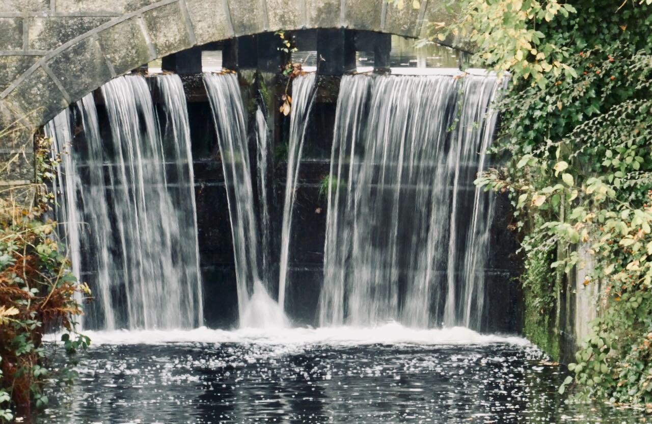
The second somewhat abstract shot in a row of some part of the country’s transport network — though a quite different one to yesterday’s. And I picked it before remembering that I depicted the Rochdale canal only the other day. Never mind. I like the asymmetrical scene here, as the excess water comes over the lock gates by the end of Holme Street in town.