Saturday 5th August 2023, 1.15pm (day 4,363)
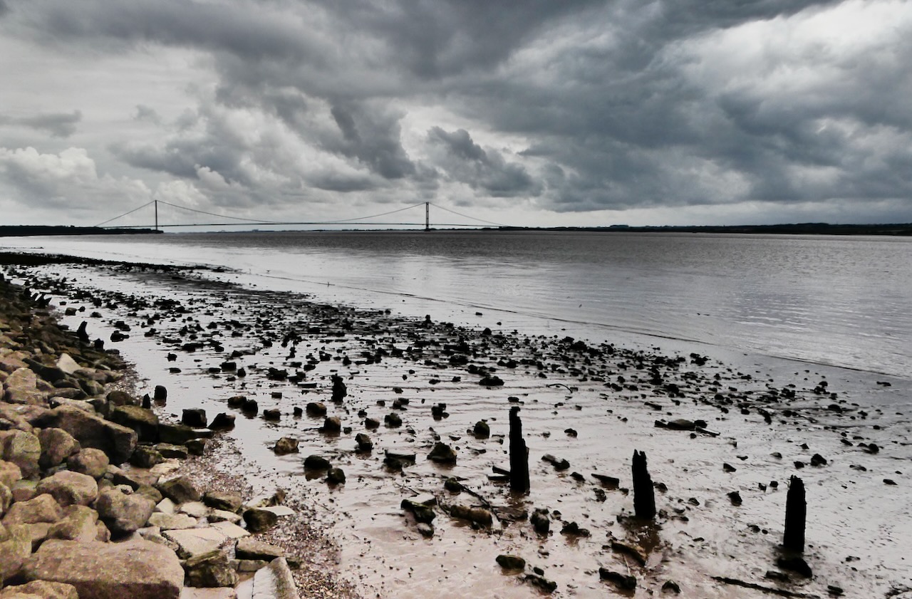
Back on November 4th 2020 I stood under the south end of the Humber Bridge — the right-hand end as this picture shows it — and took this shot. It was a day of considerably nicer weather than today, despite this being August. Anyway, this gigantic construction can join the Forth Bridge and Tay Bridge as great bridges to have appeared twice. I believe that this one is so long that the two stanchions are slightly out of parallel with each other, to allow for the curvature of the Earth, and I wonder whether you might even be able to see that on this shot, though probably that’s my imagination.