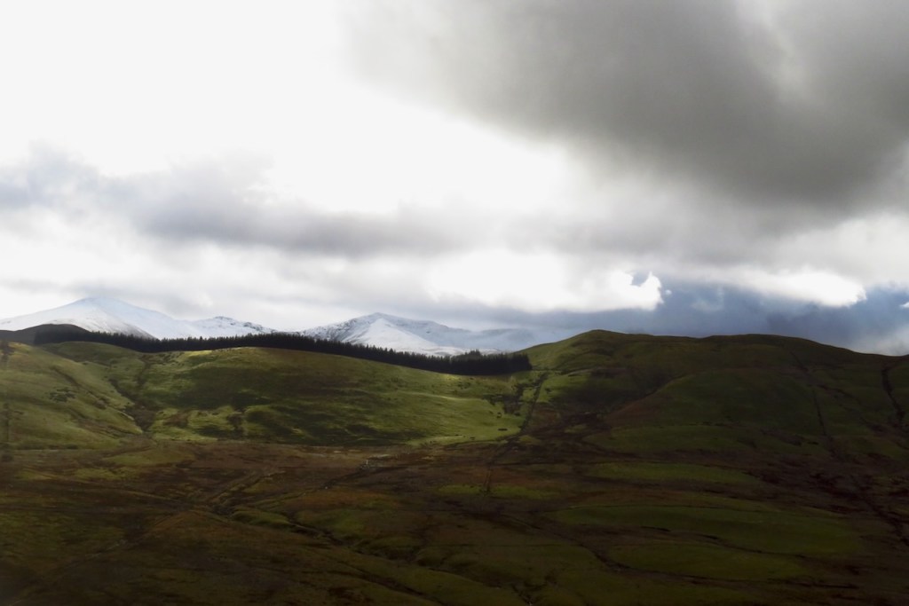
Sunday 17th April 2016, 11.05am (day 1,697)

Far too lovely a morning to stay in. Fortunately we have these great pieces of countryside short walks from my house. Sping has not yet fully sprung, but it’s getting there.

Far too lovely a morning to stay in. Fortunately we have these great pieces of countryside short walks from my house. Sping has not yet fully sprung, but it’s getting there.

As its name suggests, Great Gable is the pyramid on the left, and one of the most well-known fells in the Lake District and/or England. Last time I went up it was in foul weather (on 29/7/12) and I am determined to return to it in blue skies, so it was not on my itinerary today — but it was the best looking object on my walk round the upper reaches of the valleys of Borrowdale and Gillercomb. Colder and greyer than it might have been, but I quite like this shot, taken from the nearby summit of Brandreth.

Easter Sunday, and my entry in the Cheesy Chocolate Box cover shot, 2016. The horses know.

Well aware that this ain’t gonna win any astrophotography contests — its technical defects epitomised by the fact that the moon is (you can easily check) still nine days from full, but the crescent hasn’t come out here. But having spent the whole day indoors this really was a slow day for material, and with Orion striding over the town tonight in defiance of the usual light pollution I thought I would give it a go at making it the first recognisable constellation to appear on the blog.

Some weather forecasts just sit there demanding to be used. The thin veneer of vapour on the horizon is the nearest I got to clouds all day. The summit is Dale Head, between Newlands and Honister in the Lake District — a genuinely impressive cairn, and a damn fine view. This is why I worked yesterday instead.

With a whole day spent at home working online, it was left to the sky to entertain. This looks like a hole in the space-time continuum has opened up above the houses of Heptonstall Road. Or possibly just a break in the clouds near the setting sun.

Graystones is the modest peak to centre right, Wythop Moss the substantial swamp below. The fringe of trees is the top end of Darling How plantation, which extends down into the unseen valley over the far side of the ridge. And yes, I took the day off, well, most of it anyway, to go on a walk. But I’m working Sunday, so these things balance out, before you call the employment police (probably the Tories are considering such a step).

The weekend’s tour of noted tourist spots in West Wales continues. But sometimes one just has to admit one is a tourist. Devil’s Bridge was first named for the lowest of these three structures, built in the 11th century, and named for the Devil because people simply did not believe that the precipitous gorge that it spans could have been tamed by human hand alone. Anyway, just think what it must have meant for an 11th-century peasant to trust their lives to this new-fangled engineering stuff. The middle bridge was built in 1753, and the current, topmost one in 1901.

Portmeirion was built by Clough Williams-Ellis over a fifty-year period as a demonstration of his theories about landscape and architecture. It should be visited by anyone with an interest in the Italianate and the exquisite configuration of the….
Oh, sod that. We all know why Portmeirion is cool. It’s because it’s THE VILLAGE, from The Prisoner, the best TV series ever made. And because this is a hotel, private ground, it hasn’t since become defiled by McDonalds’ or Starbucks or just disappoint slightly because of the fact that this location you see carefully pieced together on screen isn’t like that in reality. But at Portmeirion, everything that brought Patrick McGoohan et al to the place, seeing it as the perfect setting for his vision, is still there. There’s number 6’s cottage in the background of this shot! There’s the bandstand where they play in the episode “Hammer into Anvil”! I am in geek heaven!!
No weather warnings have been issued and it seems to have stopped raining…. but recent events suggest that we should at least be wary when the river reaches this level. It’s not just about heavy rainfall, either. We should also blame the government — flooding isn’t caused by heavy rain, but by shitty decisions about land use, some of them stretching back centuries. Ah well, seeing as we’ve reached the ‘let’s cross our fingers and hope’ stage of flood prevention, let’s just do that.