Friday 13th June 2025, 1.50pm (day 5,041)

As part of the contract that is Being Married to Drew, Clare occasionally gets dragged up remote moorlands, like Meikle Says Law in the Lammermuir Hills — the top of this (a County Top) being somewhere in the vague brown moorland to top right. This was the final stage back to the car. I call it the ‘last climb for now’ because I assume she might be motivated to do another one or two in the future before one of us dies…. though who knows for sure?
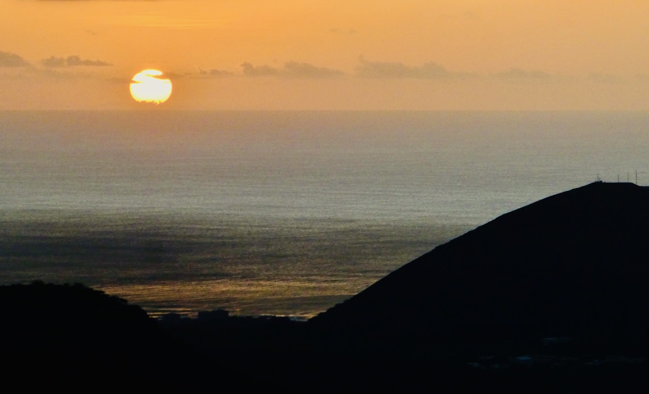
This is the last of the shots from the current road trip in Scotland, a passage of time which has seen it overtake Australia as the second-most depicted country on here after England.