Tag Archives: Lake District

In the Duddon Valley

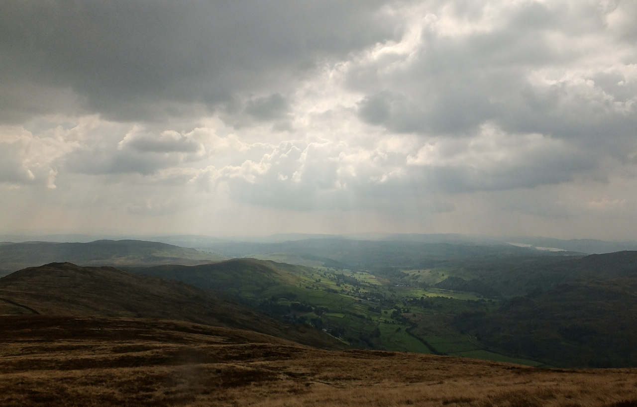
Friday 2nd January 2015, 3.15pm (day 1,226)

Duddon Valley, 2/1/15

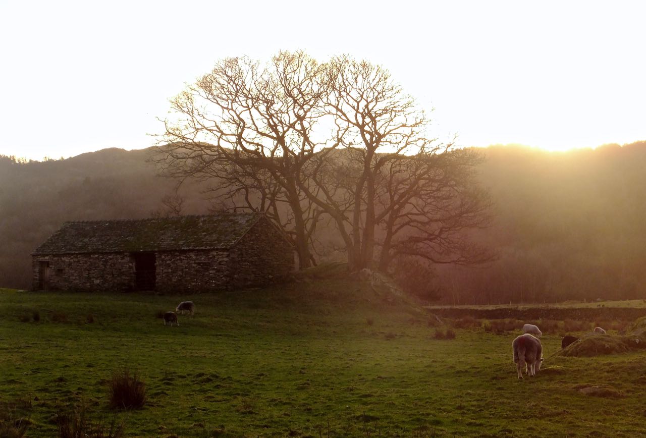
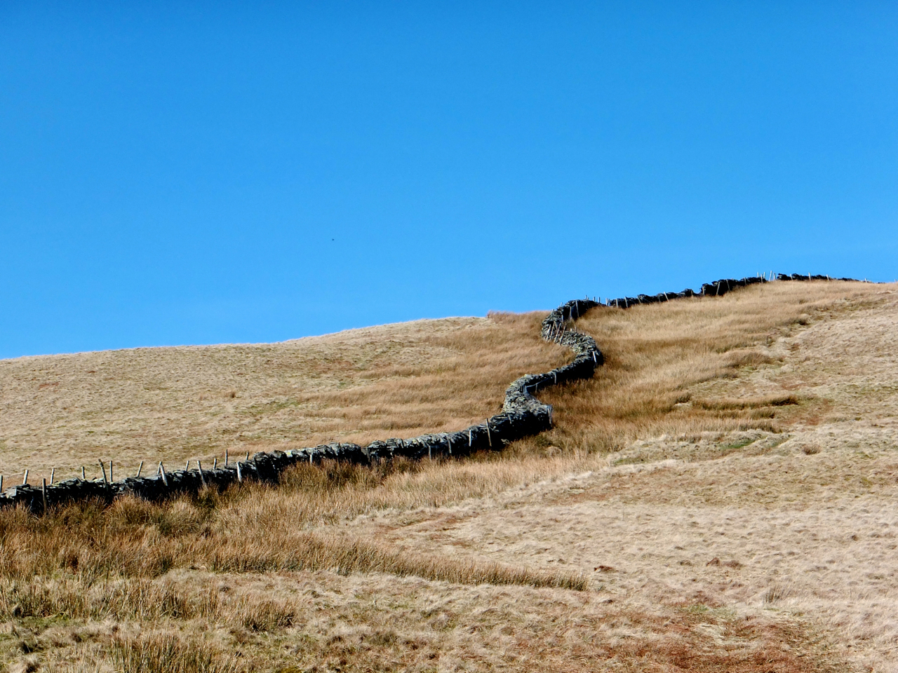
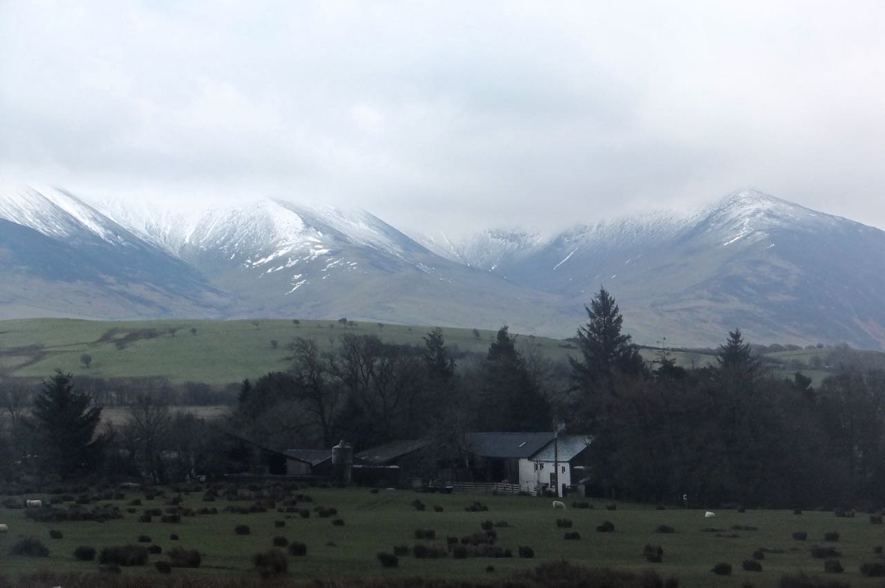
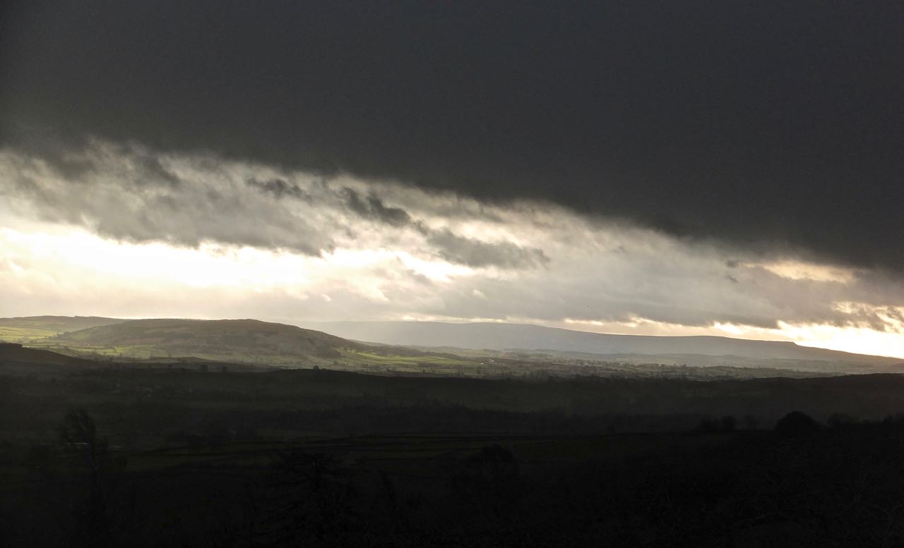
University doesn’t reopen until Monday so I took advantage of this fact and a reasonable weather forecast to do another Lake District walk (written up in full on my other blog). The Duddon Valley slices through the south-west of the district. Walking in winter like this does lead to more time spent outdoors in the ‘golden hour’, thus plenty of chances for shots like this one.

Tagged , , , , , , , , ,

The cows know

Wednesday 15th October 2014, 12.05pm (day 1,147)

The cows know, 15/10/14

I think number 5 did it. She’s trying to look inconspicuous, but I’m telling you, she’s the one.

Tagged , , , , , ,

The Kentmere valley, looking south

Friday 5th September 2014, 1.30pm (day 1,107)

Kentmere, 5/9/14

Think landscapes are easy to photograph? No! Landscapes are capricious and complex. Like women. You have to get them in the mood, and when they’re there, don’t hang around — it might not last long.

Tagged , , , , , , , , , ,

On the summit of Gummer’s How

Saturday 23rd August 2014, 2.25pm (day 1,094)

Gummer's How summit, 23/8/14

A walk in the Lakes. Specifically, around the southern tip of Windermere. Generally a very nice day except for about 90 minutes of clouds and squally drizzle around lunchtime; at the point this photo was taken things were mostly cleared up. This is the summit of Gummer’s How, a small peak at the end of the lake, and famous (rightly) for its view. These Luing cattle live permanently on the fell and maintain the flora, so we are informed by the noticeboard at the point where the path leaves the road, anyway.

Tagged , , , , , , , ,

Walker, summit of Arthur’s Pike

Saturday 28th June 2014, 12.20pm (day 1,038)

Walker, Arthur's Pike, 28/6/14

Another Lake District walk today. I was sat down having my lunch on the summit of Arthur’s Pike (1747 feet above sea level) when this other walker came over to admire the view and I just snapped him from below, the Pennines in the background. More photos and text will appear on my other blog tomorrow, but not tonight. A cloudy day, as you can see; OK for walking but June is never a great month for photography.

Tagged , , , , , , ,

Mosedale Cottage, revisited

Monday 14th April 2014, 12.35pm (day 963)

Mosedale Cottage, 14/4/14

This is probably England’s most isolated front room, being located in the mountain bothy (hut) that is Mosedale Cottage in the Lake District. I have used it on this blog before, on 31/8/12 to be precise. I like the fact that in one of the remotest spots I know, one can come in and have lunch sat on a three-piece suite and (thanks to another hiker who was present at this point, but not pictured) read the daily paper, seen on the couch to the right.

Tagged , , , , , , , ,

Dry stone wall, Little Yarlside

Tuesday 11th March 2014, 12.30pm (day 929)

Little Yarlside, 11/3/14

A good dry stone wall evolves. It’s built, yes, but with the landscape, not despite it.

Tagged , , , , , , ,

High Bewaldeth Farm, near Bassenthwaite

Tuesday 4th February 2014, 1.20pm (day 894)

High Bewaldeth, 4/2/14

I’ve been stuck in the house for eight days straight. Goddammit, I was getting out today. I may still be contagious but out in a place like this, who cares?

Tagged , , , , , , , ,

View south from Scout Scar, Christmas Eve

Tuesday 24th December 2013, 12.05pm (day 852)

View from Scout Scar, 24/12/13
Christmas Eve. Ignoring the typically apocalyptic weather forecast (as I have all year), I went on walk #77 of my Lake District project and despite a breeze that could be called ‘bracing’ and the odd hail shower, I had a thoroughly good time on Scout Scar, a limestone outcrop to the west of Kendal, Cumbria. And managed a couple of decent photos too. The rest will be up on my other blog soon…

I am not fully certain of the identities of these hills by the way. I think the one on the left is called White Hill, and the horizon is formed by the Three Peaks of Yorkshire, melding into one at this distance but I am sure the step on the right must be that of Pen-y-Ghent or Ingleborough, with Whernside the rise in the ridge in the centre. But I could be wrong.

Tagged , , , , , , , , ,