Tag Archives: walking

Mount Beerwah

Monday 29th April 2013, 1.50pm (day 613)

Mt Beerwah, 29/4/13

This is the highest of the Glasshouse Mountains, about 50 miles (80km) north of Brisbane. As viewed from Mount Tiborgargan nearby, and given added mystery by a pall of smoke which hung over these old, eroded volcanic plugs most of the day, courtesy of some scrub-burning I think.

Tagged , , , , , , , ,

DOC worker near Twin Beach, Heaphy Coast

Thursday 28th February 2013, 1.40pm (day 553)

DOC worker, Heaphy Coast, 28/2/13

DOC is the Department of Conservation, the body who look after New Zealand’s wonderful environment, and are trying to continue to do so in the face of the same old funding pressures foisted on us by the moronocracy. Be nice to these people, who are basically trying to help the world. Mind you, they do get to work in some pretty attractive locations.

Last day walking the Heaphy Track – usually people take five days, I did it in three, including a 37km (23 mile) last day. My feet hurt. But I’m happy to have done it, and now I’ve caught up with this blog: however, more photos from the walk, and details on the experience, are shortly going up on my walking blog.

Tagged , , , , , , , , ,

The last two red pins

Wednesday 2nd January 2013, 8.25pm (day 496)

Last 2 red pins, 2/1/13

This is my other project.

Up to the day I started this blog, 26/8/11, I had climbed 130 of the 214 ‘Wainwright’ fells in the English Lake District, having started on 19th July 2009. As of today, 2/1/13, I have climbed 212 of them. The last two – Lonscale Fell and Latrigg – are represented by the last two remaining red pins in my board, pictured here. And tonight I booked a room in Keswick for this coming Friday night, so by Saturday 5th at the latest they will have fallen and I will have done the lot. (Compare this to the other time the pinboard appeared on the blog.)

Tagged , , , , , , ,

View south from High Rigg

Saturday 24th November 2012, 11.10am (day 457)

View from High Rigg, 24/11/12

High Rigg is a low-altitude but craggy hill a few miles to the east of the town of Keswick. On the left of this shot, in the background, is Helvellyn, the third-highest mountain in England. The dark dimple in the middle is called Great How. The lake is Thirlmere, actually a reservoir. This shot was taken with a dark filter on, then I beefed up the highlights to bring out the sun; but this is more-or-less what it looked like on this November morning. A high haze in the sky allowed one to look straight into the sun, and brought out the last of autumn’s rich colours.

And, oh yeah, I’ve now only got 2 of the 214 Wainwright fells left to climb. I’ll get all the pictures up on my other blog tomorrow morning.

Tagged , , , , , , , ,

The Greenup valley

Saturday 10th November 2012, 11.35am (day 443)

Greenup valley, 10/11/12

Is there a word for the one before the one before the last one? Pen-penultimate maybe? If so, today was the pen-penultimate walk I needed to complete the 214 Wainwrights. Numbers 208 (Eagle Crag, a great little climb) and 209 (Sergeant’s Crag) were completed in a day that once again started off OK but got much worse, weather-wise, as time went on. These were about the last shafts of sunlight until near the end of the walk three and a half hours later, illuminating the glacial Greenup valley, as viewed from the lower slopes of Eagle Crag.

Tagged , , , , , , ,

Afternoon stroll, Moscow

Wednesday 24th October 2012, 3.45pm (day 426)

Old Muscovite, 24/10/12

When you see Russians like this you can’t help but wonder what they were doing 50 years ago (around the time of the Cuban Missile Crisis). He looks quite well-to-do: I suspect he may very likely have been the sort of chap who would have had a key role to play in, say, The Spy Who Came In From The Cold. Yes, I’m stereotyping, but not without some justification, I feel.

Hardy chap, at least, particularly to be out without gloves on today. It was freezing in Moscow, literally, and – albeit briefly – I saw the first snow of the winter today. You have been warned.

Tagged , , , , ,

Rain over the Vale of Lorton

Wednesday 17th October 2012, 12 noon (day 419)

Rain over Lorton, 17/10/12

Was almost obliged to go on a walk today, if I still intended to finish my project by the time I go away next year (in case you weren’t aware of this one, see my other ‘214 Wainwrights’ blog). It was tougher than expected today, partly because the forecast let me down – promising decent weather after noon, this was the reality; the last blue sky I saw all day.

Tagged , , , , , , , ,

Lunch in Mosedale Cottage

Friday 31st August 2012, 11.45am (day 372)

Mosedale Cottage, 31/8/12

Another walk today. I snuck it in based on a good weather forecast in the morning, and so it was, but after noon we went back to the same old rubbish. Never mind, it was good while it lasted.

A distinctive feature of the walk was being able to have my lunch sat inside on a very comfortable couch instead of outside on some damp mossy rock somewhere. The reason was the existence of Mosedale Cottage, a ‘mountain hut’ or bothy, some three or so miles from any other building. When I turned up there were these three shepherds having lunch there as well, and why wouldn’t you, it’s definitely the most comfortable place to have lunch for miles around. We shared the room for 10 minutes, moved on. It was as good a spot for lunch as I’ve managed on any Lake District walk.

Tagged , , , , , , , , , ,

Walker and Pike O’Blisco

Thursday 23rd August 2012, 10.50am (day 364)

Walker, Pike O'blisco, 23/8/12

Third day in four out walking, and between them all I have done 43 miles (nearly 70km). On none of them has the weather been great and today was the worst of the lot. It’s time for a rest…

Tagged , , , , , , , ,

The Roman fort at Hardknott Pass

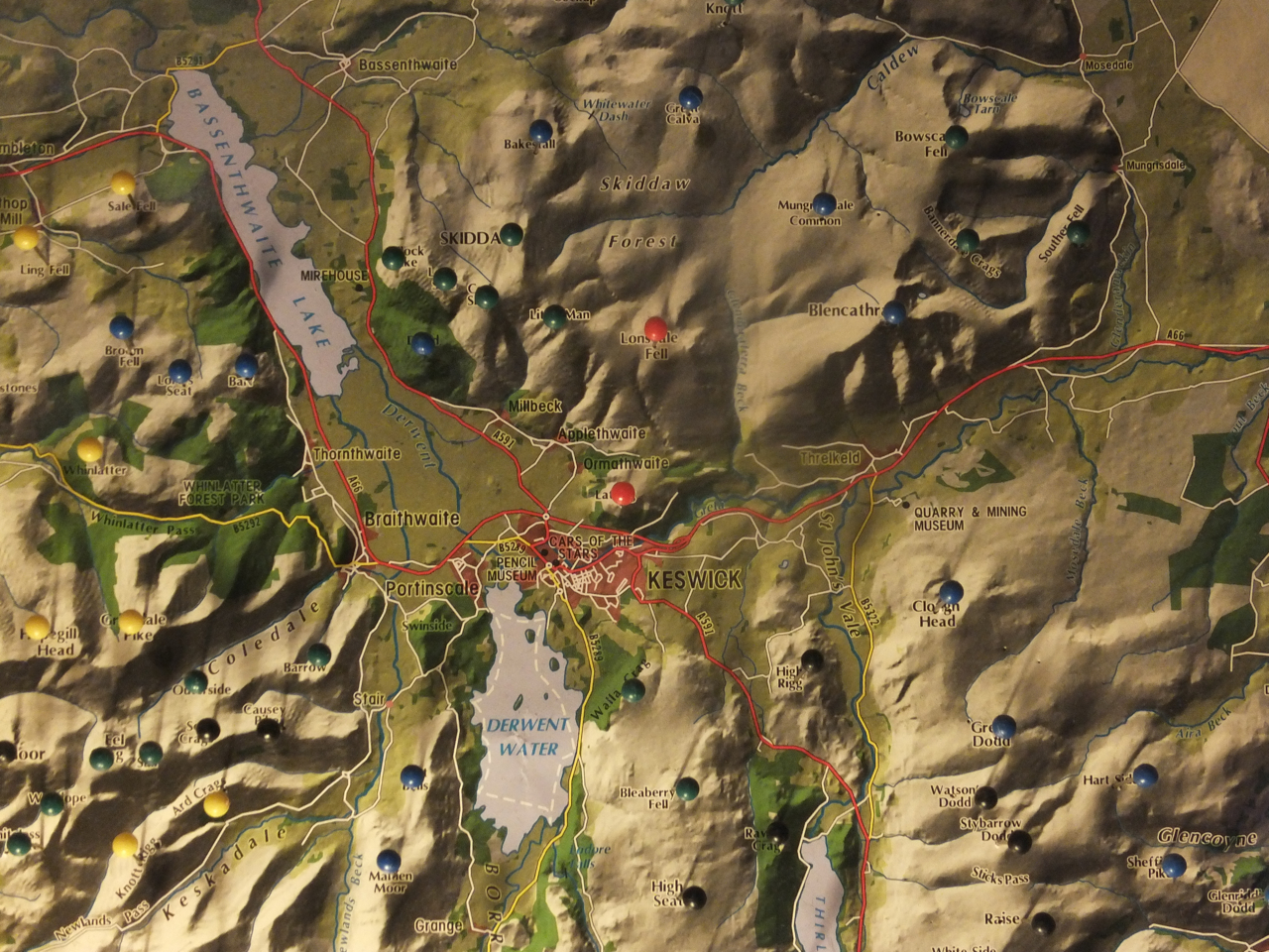
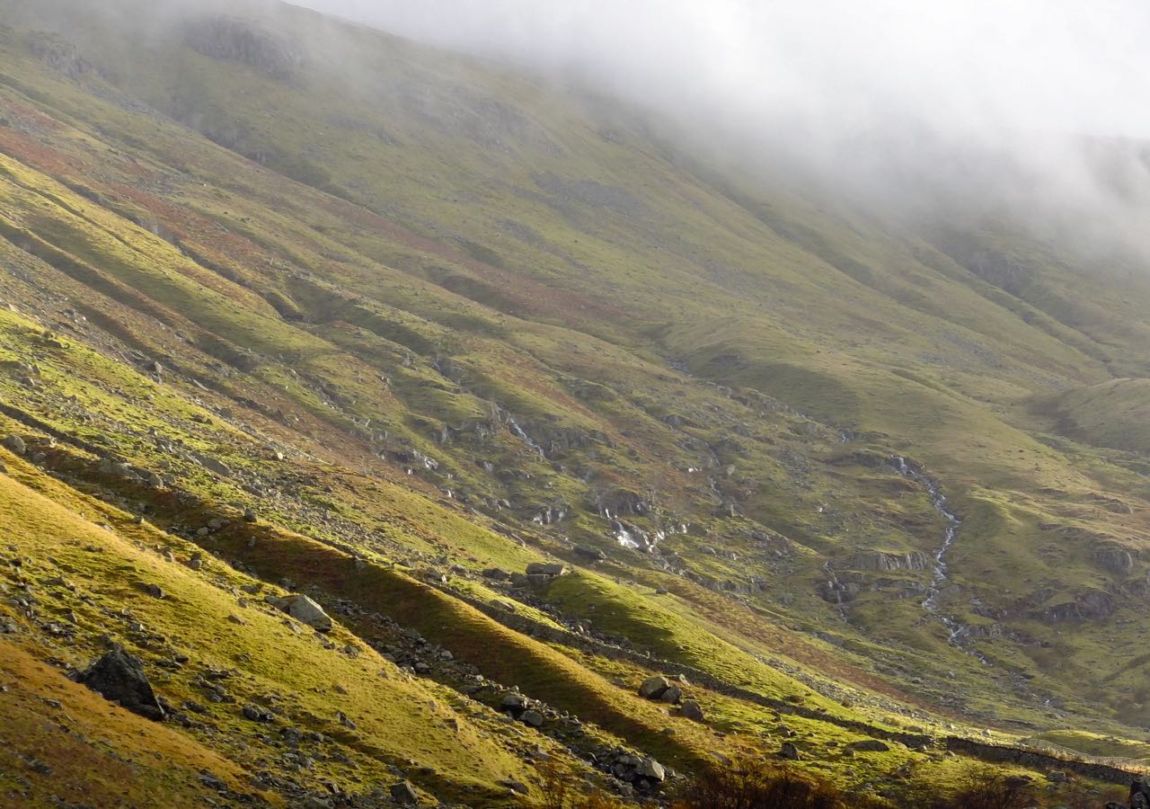
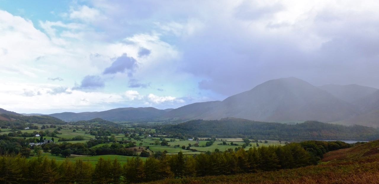
Wednesday 22nd August 2012, 3.25pm (day 363)

Hardknott castle, 22/8/12

From A. Wainwright’s The Southern Fells (volume 4 of his Pictorial Guide to the Lakeland Fells): page Hard Knott 2:

“On the south-western slope of Hard Knott the rocky cliffs of Border End fall steeply to an inclined grassy shelf, which extends for half a mile and then breaks abruptly in a line of crags overlooking the Esk. This shelf, a splendid place of vantage commanding a view of the valley from the hills down to the sea, was selected by the Romans towards the end of the first century AD as a site for the establishment of a garrison to reinforce their military occupation of the district….

“One wonders what were the thoughts of the sentries as they kept watch over this lonely outpost amongst the mountains, nearly two thousand years ago? Did they admire the massive architecture of the Scafell group as they looked north, the curve of the valley, from source to sea, as their eyes turned west? Or did they feel themselves to be unwanted strangers in a harsh and hostile land? Did their hearts ache for the sunshine of their native country, for their families, for their homes?”

Tagged , , , , , , , ,