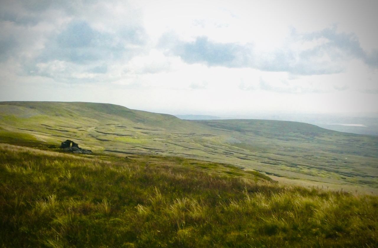
This guy was certainly moving at quite a clip, so the ‘charging’ reference has a double meaning: pretty weak, I know, but that’s what a full day’s work does for my wit these days. In three days’ time I should be somewhere very different.
I was certainly enjoying the sunshine today — a glorious day. Whether the horse was or not, I can only speculate, but it looks contented enough. Taken towards the end of my first County Top walk for over two months: the houses in the background are part of the village of Huthwaite, the highest settlement in Nottinghamshire.
Well, I didn’t have anything better today, and by the signs of it, neither did he. I hope he enjoyed his bout of exercise as much as I did. (For more details see my other blog.)
Most of the kids who live in Hebden Bridge, but attend Calder High School about 2 miles away, get the bus there. But these three look to have decided to walk it — and good for them, it was a very beautiful morning, and there’s no need to walk along the main road.
The Pennines are, definitely, the vertebrae of Britain (supporting the large, shaggy head that is Scotland). And today I, definitely, walked from one side of them to the other, starting a hike in Greenfield on the west and ending it in Marsden to the east: with the town seen in the background here being Huddersfield. Today, therefore, I definitely crossed England, in watershed terms anyway. The two guys seen here may or may not have done the same.
Can I note, though, that a lot of England’s spine is comprised of peaty, boggy shit. Get it cleaned up, England!
By British standards, Yorkshire has always been a big county. Chopped around with a bit since 1974, nevertheless, in terms of its historic boundaries it was the largest in the country. And Mickle Fell, at 2,585 feet/788m above sea level, was its highest point. Truly, therefore, between about 10.30 and 11.00 am, I was Top Yorkshireman — geographically, at least.
Of course, since 1974 this territory was allocated to County Durham instead — but let’s gloss over that little detail. If you want to find out more about my walk today, please do have a look at my other blog.
This blog has been going long enough (we approach 13 years next month), but my regular walks in the Lake District predate it: it was 19th July 2009 when the LD blog recorded ‘walk 1‘. Fifteen years have since passed, and with walk 215 today — I haven’t published the page just yet but will do so soon — I completed my bagging of every one of the 330 Wainwright fells therein: twice. Well, it’s certainly given me something to do (and to spend money on) in that time: but I am not upset it is finished, quite relieved, in fact. No broken legs, you know?
These guys stand at the top of Grains Gill, which runs into the heart of the District south from Borrowdale. I have just come off Great End, which would, toponymically, made a good finishing point but it turned out to be my penultimate fell — from here there is still Seathwaite Fell to come, just to the left of this shot.
Dumgoyne is a steep little volcanic plug that rises on the edge of the Campsie Fells, north of Glasgow. On the map it looked like a nice little prologue to the actual destination of my hike, which was Earl’s Seaat, one of the County Tops, although less photogenic. But in fact, I never made it to the top of Dumgoyne: one of those climbs that the nearer I got to it in actuality, the less appeal it had. No matter: CT #81 was duly bagged about two hours later.
I get the point of What Three Words, but should all combinations be permitted? If I were an emergency services operator and got told that my attention was required to Soggy Parrot Delusions I think the conversation would end there in gales of (my) laughter.
Wold Newton, where this path goes, was my 80th County Top, if you are interested in my other blog…
Let’s have a lot less vehicle-related morbidity and much more healthy outdoor exercise, miles (well, OK, about a mile) from the nearest traffic. Alfred Wainwright, who does know what he’s talking about, describes the summit thus:
here, on the summit of little Helm Crag, a midget of a mountain, is a remarkable array of rocks, upstanding and fallen, of singular interest and fascinating appearance, that yield a quality of reward out of all proportion to the short and simple climb. The uppermost reaches of Scafell and Helvellyn and Skiddaw can show nothing like Helm Crag’s crown of shattered and petrified stone: indeed, its highest point, a pinnacle of rock thrust out above a dark abyss, is not to be attained by walking and is brought underfoot only by precarious manoeuvers of the body. This is one of the very few summits in Lakeland reached only by climbing rocks, and it is certainly (but not for that reason alone) one of the very best.
And he’s right. Even in the mist, this is a great spot. And those two rocks do look like a lion and a lamb, don’t you think? That’s their official name, anyway. (For more pictures from today see my other blog.)