Saturday 14th February 2026, 10.50am (day 5,287)
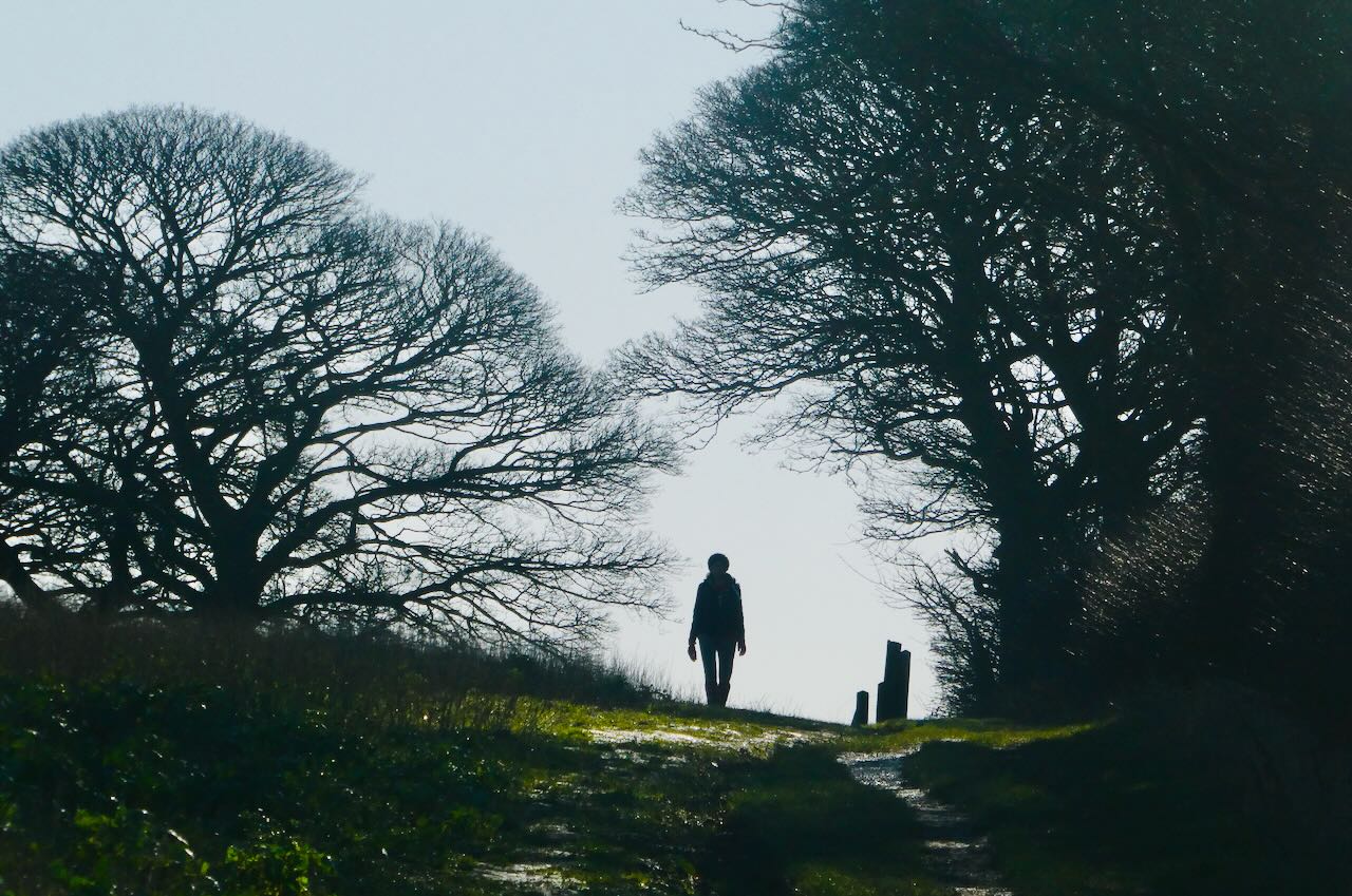
After dull weather for what seems like the whole year, at least in Yorkshire, the forecast relented and a Saturday walk in the sunshine duly transpired. I am pleased with this shot; the positioning seems just right and she does make quite a nice shape. The walk was quite good too (but more details are still to be posted on the County Tops blog — bear with me).