Sunday 1st September 2013, 1.50pm (day 738)
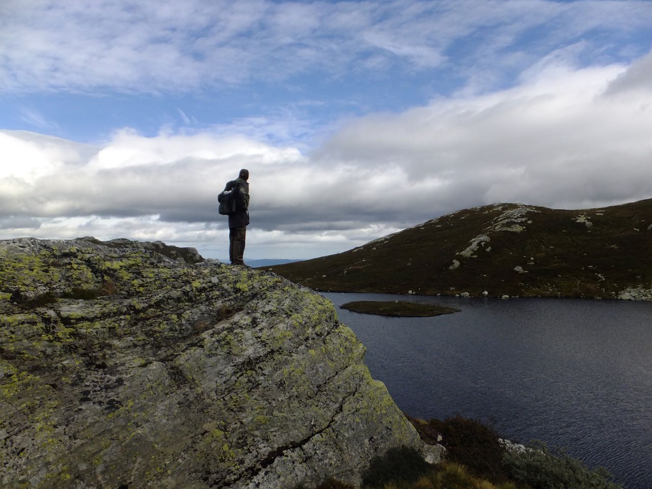
And here is my host and mountain guide, Eystein — or at least, his back — pictured on the way back down from a summit that nearly bears his name, Øysteinnatte (Øystein’s Knott, a knott being a rocky tor), part of the larger massif of Lifjell. An enjoyable weekend’s walking to say the least, but it’s back to work (in Oslo) tomorrow.